These documents have been passed to Kent County Council to consider whether a public footpath should be added to the definitive map and statement for Kent, as regards a public footpath between Knowlton Lane and Roads Hill, across Knowlton Park.
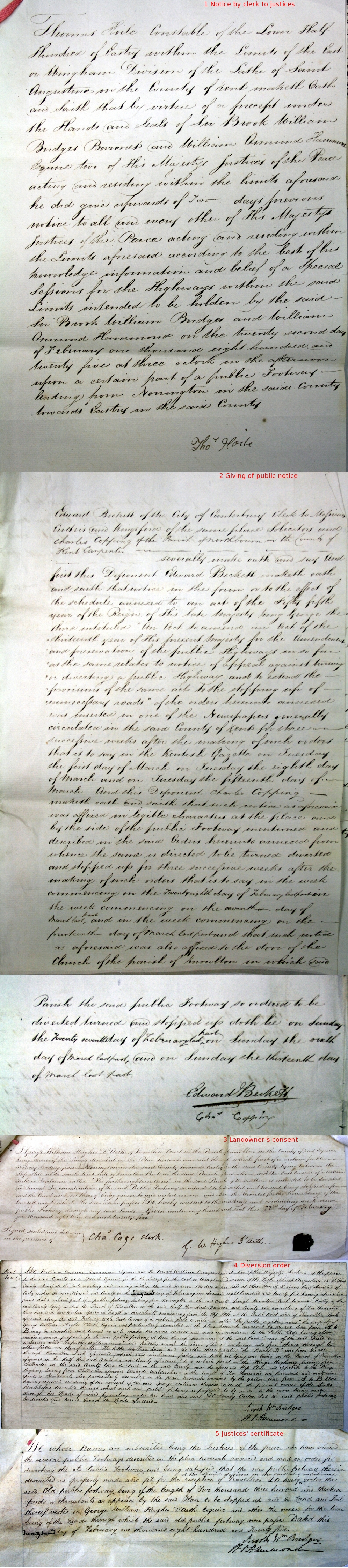
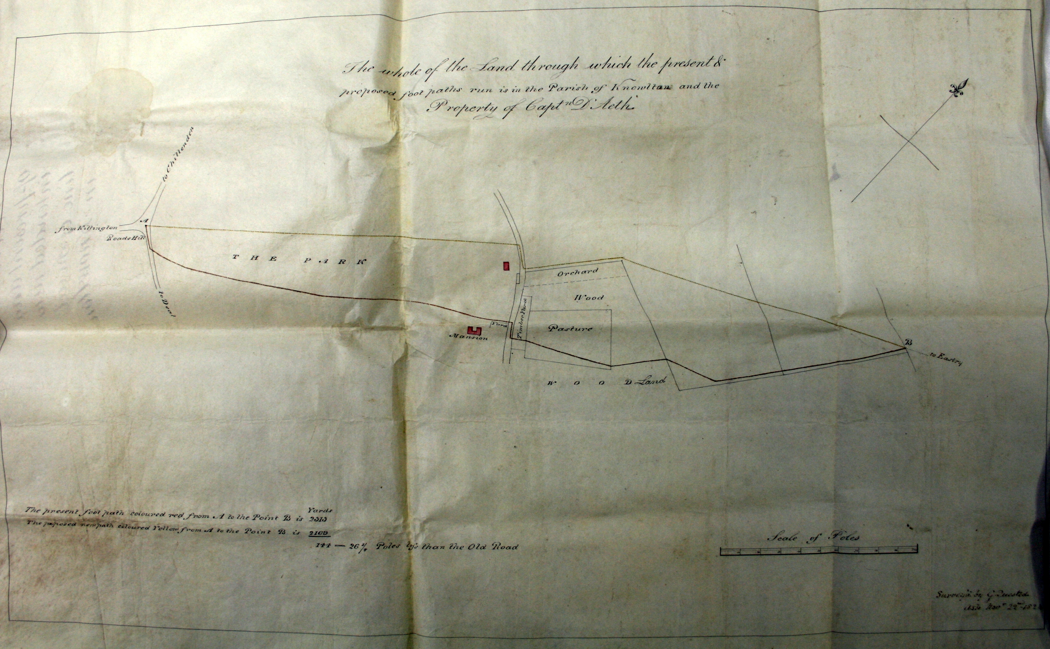
The documents record a diversion order made by the Justices of the Peace in 1825, which stopped up the public footpath between the parish boundary near Heronden and Roads Hill via Knowlton Court and Knowlton Park, and substituted a new alignment further to the west. The northerly part of the substituted alignment is now recorded as a public footpath between Heronden and Knowlton Lane, and a continuation of the public footpath is recorded south-west to the Sandwich Road. But the path across Knowlton Park is not included on the definitive map.
Images on Geograph.co.uk: at Roads Hill, Google Streetview at Knowlton Lane.
Download the diversion order and associated documents, transcript, order map, georectified order map.
Status: documents referred to Kent County Council on 26 January 2014: the council resolved on 9 May 2018 to make a definitive map modification order under section 53(3)(c)(i) of the Wildlife and Countryside Act 1981; the order was made on 23 May 2018, consultation closed on 27 July 2018; the order was referred to the Secretary of State for determination. An interim decision letter on 23 December 2019 proposed confirmation subject to modifications; the order was confirmed in a final decision letter on 21 December 2020 without modification. Now added to the definitive map and statement as footpath EE487.
Page last updated: 6 August 2022